The sky is getting crowded. Unmanned drones, air taxis and other new airspace users call for innovative air traffic concepts and solutions.
author: Denis Dilba | 6 mins reading time | published on: 09.03.2021 |
The sky is getting crowded. Unmanned drones, air taxis and other new airspace users call for innovative air traffic concepts and solutions.
author: Denis Dilba | 6 mins reading time | published on: 09.03.2021 |
©DLR
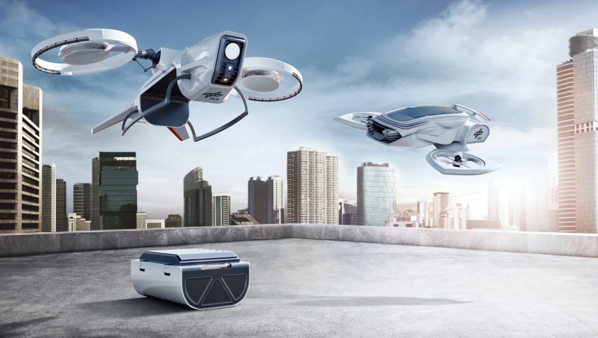
Unmanned drones that ferry blood and tissue samples back and forth from one hospital to another or check for damage to bridges and rail tracks with onboard sensor systems. Air taxis to take passengers the last mile from airports directly to their destinations downtown. Large, fully automated freighters with a single pilot. Virtually zero-emission light aircraft with fuel cells or battery-powered propulsion systems at regional airports. And supersonic jets that cross the Atlantic in just three hours. All the above are currently under development, with some prototypes already being field-tested. But it doesn’t necessarily follow that this diverse group of new aircraft will be a common sight anytime soon. “Apart from some outstanding issues regarding their commercial viability, one of the biggest obstacles is integrating these new airspace users safely and efficiently,” says Dr. Bernd Korn, Head of Department Pilot Assistance at the Institute of Flight Guidance of the German Aerospace Center (DLR) in Braunschweig, Germany.
“The commercial drone market in Germany alone is set to increase by 525 percent between 2019 and 2030, totaling some 126,000 drones. At the same time, 721,000 private drones will also be in operation.”
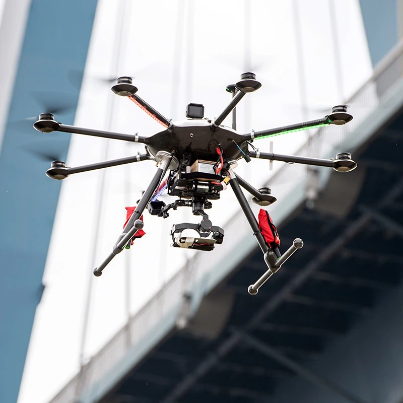
As far as that goes, unmanned drones and air taxis—the fastest-growing sector—easily pose the greatest challenge. According to a study by the German Unmanned Aviation Association, the commercial drone market in Germany alone is set to increase by 525 percent between 2019 and 2030, totaling some 126,000 drones. At the same time, 721,000 private drones will also be in operation. So it is hardly surprising that DLR expert Korn considers this airspace integration to be a matter of the utmost urgency—and a huge dilemma. “The deployment of unmanned drones and air taxis, and their mode of operation, are strikingly different from traditional aviation,” Korn says. “Both fly at significantly lower altitudes than commercial aircraft, while the time between takeoff and landing is much shorter.” Just a few thousand unmanned drones and air taxis could add up to several hundred thousand aircraft movements each day. By comparison, Frankfurt Airport recorded 513,912 aircraft movements for the whole of 2019.


©Michael Drews/DLR
©Michael Drews/DLR
©Michael Drews/DLR
Airport no-fly zones: Uncontrolled airspace around airports that is also used by commercial aircraft is off-limits to drones.
The management system used for highly conservative, yet extremely safe, traditional aviation is simply not equipped to deal with this multitude of airspace users. It is based on procedures and processes that were established decades ago. Although they are still highly efficient, as DLR specialist Korn acknowledges, many of them date back to a time when neither the internet nor satellite navigation were available. To this day, radio transmissions are the primary means of communication when managing traditional air traffic movements, with air traffic controllers using them to direct the aircraft and ensure they keep their distance. In principle, then, apart from plenty of nitty-gritty details, integrating the new supersonic jets, light aircraft and fully automatic freighters with a single human pilot into the airspace doesn’t pose a significant problem. First, the communication channel is undisputed. Second, the number of aircraft will remain at a manageable level for the time being. In other words, the existing air traffic management system is able to cope. But when it comes to unmanned systems and air taxis, it’s a different story.

©DLR
©DLR
©DLR
Clear regulations: Unmanned drones with a takeoff weight under 25 kilograms are permitted to fly at altitudes of up to 120 meters.
It would be technically feasible for larger, unmanned drones to convert aircraft movement information to radio signals using text-to-speech software and, vice versa, to understand and process spoken instructions from air traffic controllers. “That means larger drones could be integrated into normal airspace, as long as there aren’t too many of them,” Korn says. He expects solutions of this kind to become a reality within the next five years. “All the same, it won’t be possible to manually handle 100,000 or more flights every day in confined airspace, say over a city, so the process will have to be automated,” he insists. The challenge here is not just implementing a new, automated air traffic management system, but also the fact that modern commercial aircraft aren’t yet compatible with such a system. To all intents and purposes, a new system will have to work instantaneously for both old and new airspace users. In this regard, it works in the experts’ favor that unmanned drones and air taxis fly at low altitude.
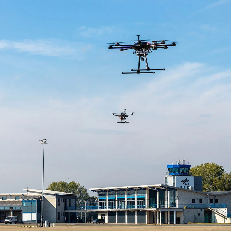
They are allowed to operate only in what is known as the uncontrolled airspace, up to an altitude of 2,500 feet (762 meters). That means they will never cross paths with commercial aircraft, whose territory—the controlled airspace—begins above that. Air traffic control ensures the smooth handling of all flights in this airspace. Drones and human pilots in the uncontrolled airspace abide by the rule of “see and avoid,” and take responsibility for observing the prescribed minimum distance from other aircraft, obstacles and clouds. Nonetheless, despite being separate from commercial aviation, there is still the dilemma of how to handle the numerous aircraft movements within this discrete airspace automatically in the future. Technology known as a UTM (unmanned air traffic management system) will ensure the safe operation of drones and air taxis. “First and foremost, a UTM must be able to reliably detect all unmanned air vehicle systems and air taxis,” says Angela Kies, Head of Unmanned Aircraft Systems at DFS Deutsche Flugsicherung in Langen, near Frankfurt.


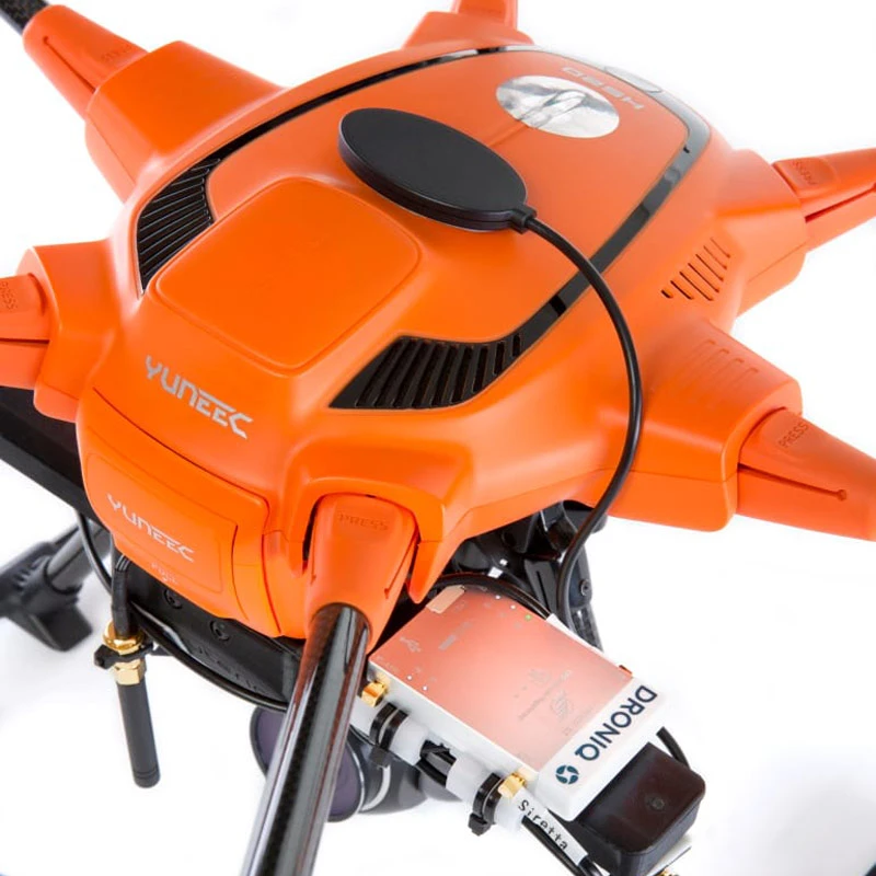
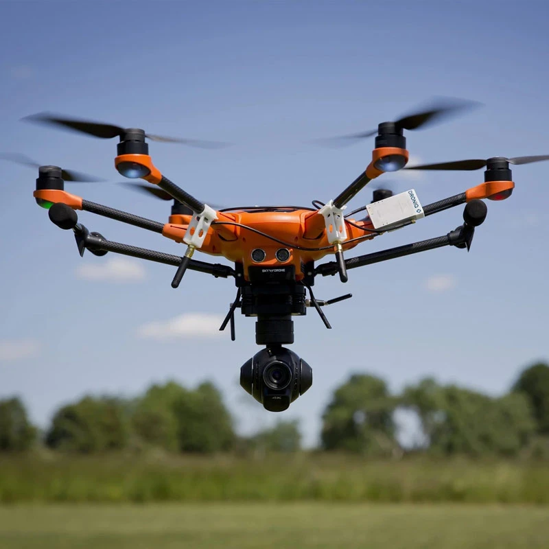
Developments in air traffic control can do all that and more besides. Weighing in at just 35 grams, an LTE mobile communications transponder developed by Droniq GmbH, a joint venture between DFS and Deutsche Telekom, is mounted on the aircraft. Via the cellular network, this hook-on device transmits the aircraft’s tracking data to the DFS UTM, which also supplies further data on the position of manned aircraft. “This provides a complete overview of the situation in the air, allowing for automated, long-range drone operation beyond the line of sight of the drone’s pilot on the ground,” says drone expert Kies. Approved beyond-visual-line-of-sight flight in particular paves the way for countless potential practical and commercial uses for drones, and thus forms the basis for their cost-effective operation. “The Droniq system has already provided convincing proof of its practical benefits in DLR projects such as City-ATM (air traffic management),” says DLR expert Korn.

©Droniq
©Droniq
©Droniq
High-tech partnership: Droniq GmbH, a joint venture between Deutsche Telekom and DFS Deutsche Flugsicherung, was established in 2019.

©Droniq
©Droniq
©Droniq
Many applications: The unmanned air traffic management (UTM) system is paving the way for drones to fly beyond the pilot’s line of sight.
Having said that, he adds, it still needs a great deal of development before it can guarantee the smooth operation of unmanned systems. Projects like City-ATM and the recently launched HorizonUAM (urban air mobility), which carry out practical tests with drones and air taxi models to identify and subsequently eliminate weak spots in technical interactions, are therefore crucial, says Korn’s colleague at DLR, Dr. Bianca Schuchardt, manager of the HorizonUAM project. “An integral part of air traffic management for unmanned drones and air taxis is a concept for a compact takeoff and landing site; these vertidromes are one of our development goals in HorizonUAM for the next three years.” Korn is confident that, in the medium to long term, UTM systems for drones will also change the face of aviation as we know it.
“In my view, the excellent results that we’re sure to obtain with an automated traffic system for drones and air taxis over the next five years will also lead to a boom in automation technology for traditional airspace users,” Korn says. He predicts that ATM for traditional aviation and the UTM systems for drones and air taxis will merge in the long term into a combined automated air traffic management system.
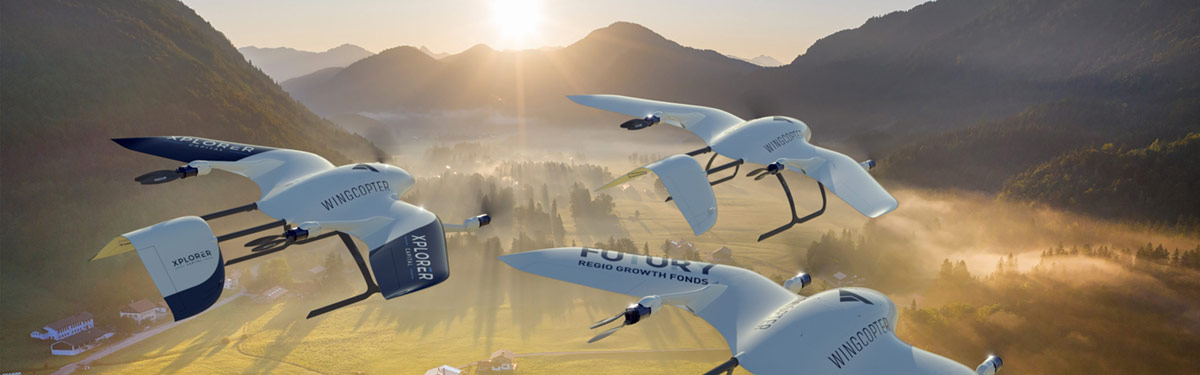
The number of commercial drones will increase significantly in the future, especially for the fast transportation of goods. Delivering medical supplies to remote locations is one of the first deployments.
©Westend61/Martin Siepmann
It is a five-hour ferry crossing from the central medical stores in the regional capital of Mwanza to Ukerewe Island in Lake Victoria—or a 40-minute flight.
That’s how fast the Wingcopter flies. In 2018, the drone start-up of the same name, based in western Germany, joined forces with the Deutsche Gesellschaft für Internationale Zusammenarbeit (GIZ) and the huge parcel shipping company DHL to trial deliveries of medical supplies to remote regions in Tanzania. Transport drones can save lives by promptly delivering antidotes for snake bites or helping ensure uninterrupted cold chains. This is also a prerequisite for transporting Covid-19 vaccines, a market that Wingcopter intends to enter. The start-up already has experience to build on: it supplied vaccines to Vanuatu, an island in the South Pacific, in 2019, and as part of an ongoing project in Malawi. Wingcopter is currently establishing the infrastructure required to transport vaccines. Moreover, it is about to commence large-scale production of its vertical takeoff craft, which covers long distances as quickly and efficiently as a standard aircraft thanks to its tilt-rotor mechanism and fixed-wing mode. Once loaded with the vaccine, the Wingcopter has a range of 100 kilometers, approximately five times that of conventional drones.